About the Map
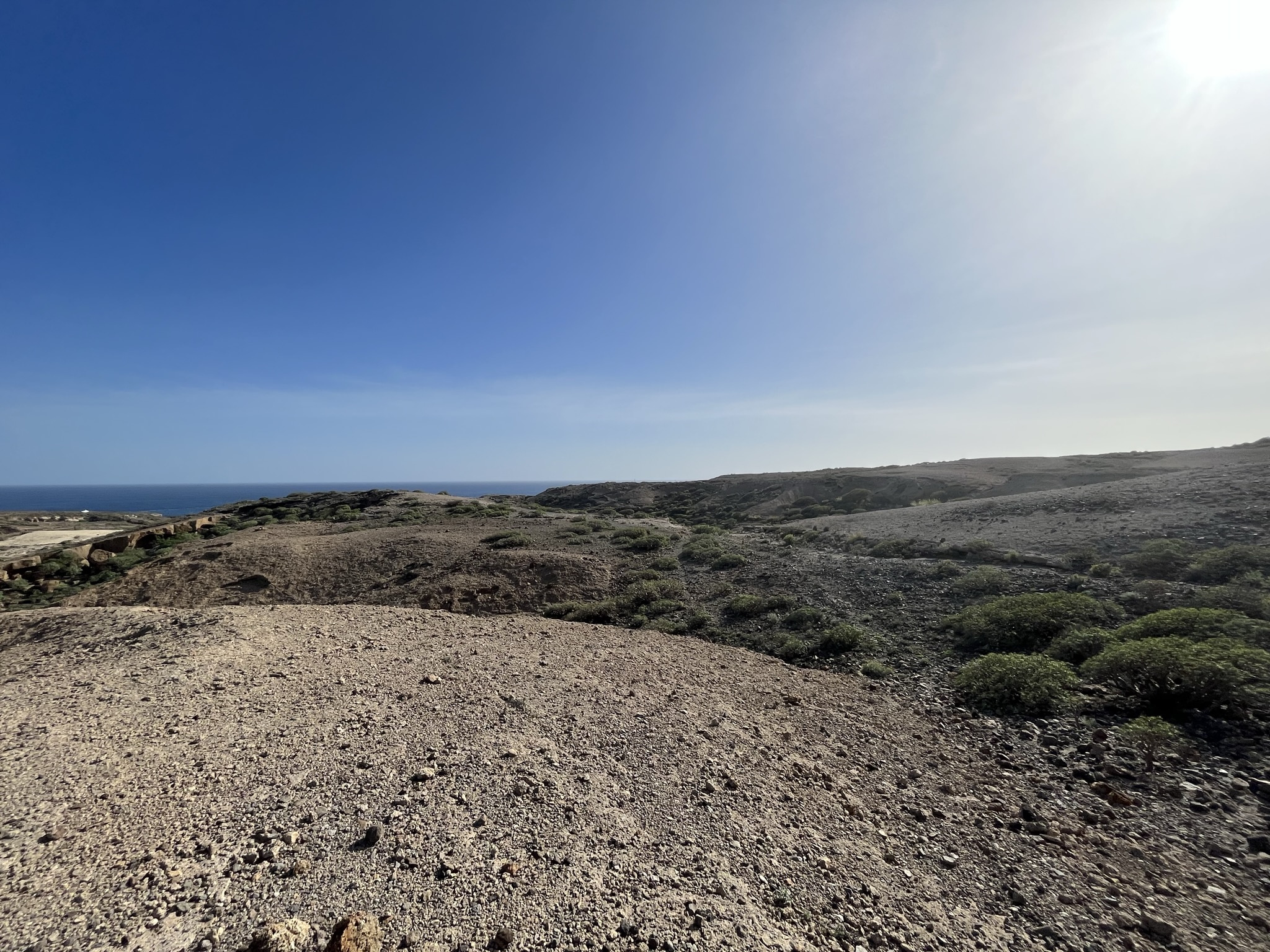
Tajao is a small town on the southern coast of Tenerife, surrounded by one of the island's most unique orienteering terrains.
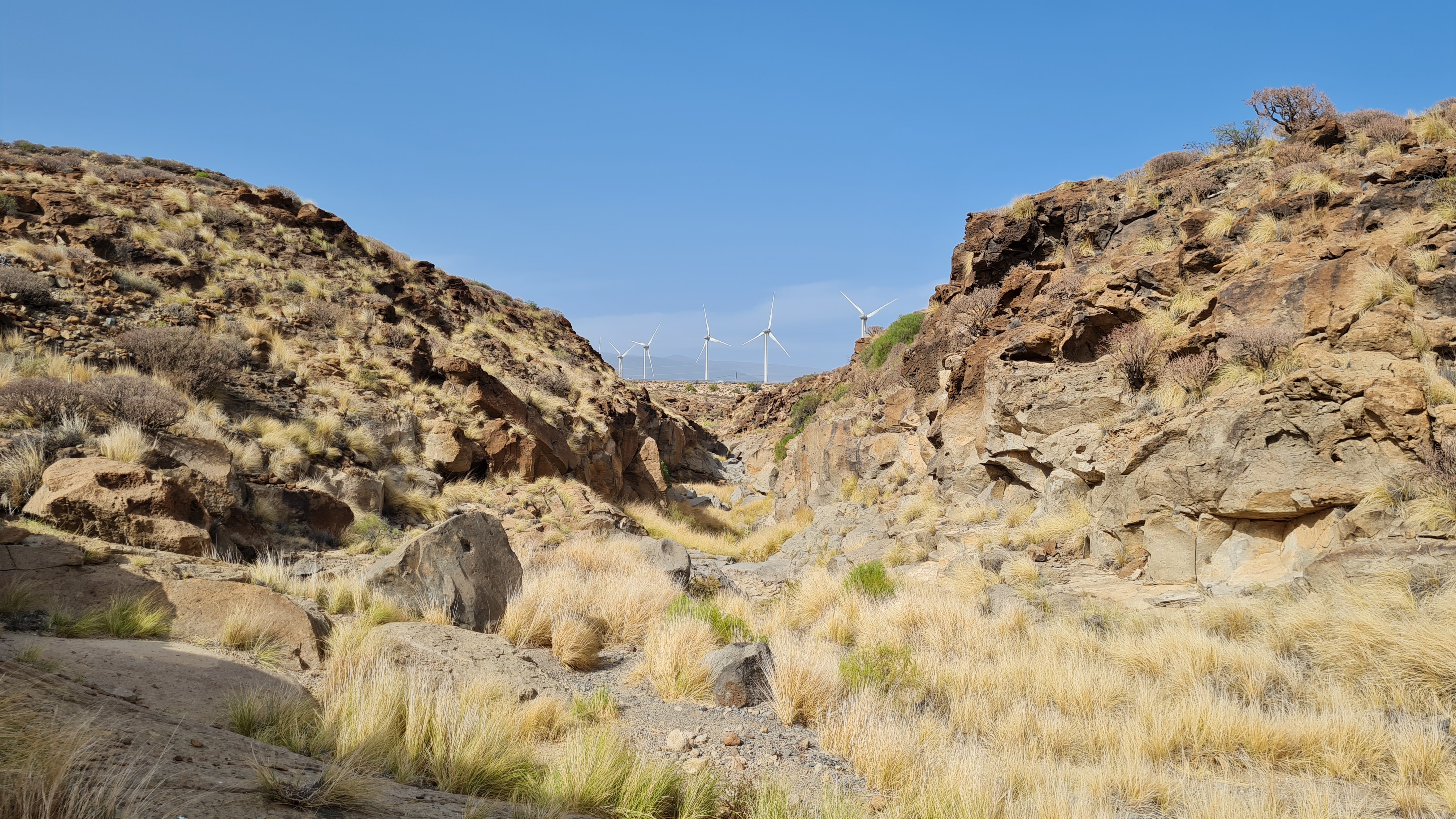
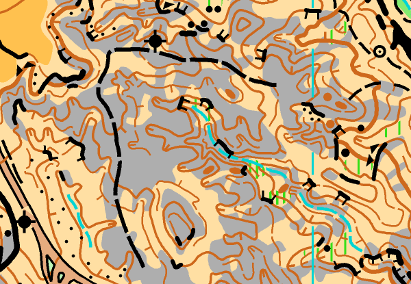
The area is characterized by bare rock ridges, dry riverbeds, and numerous cliffs, with not a single tree in sight. Runnability ranges from moderate to excellent, with gravel, undergrowth, and lightning-fast bare rock sections providing a variety of challenges. Due to the similarity of the landforms, it's easy to get disoriented, so stay aware of your location at all times.
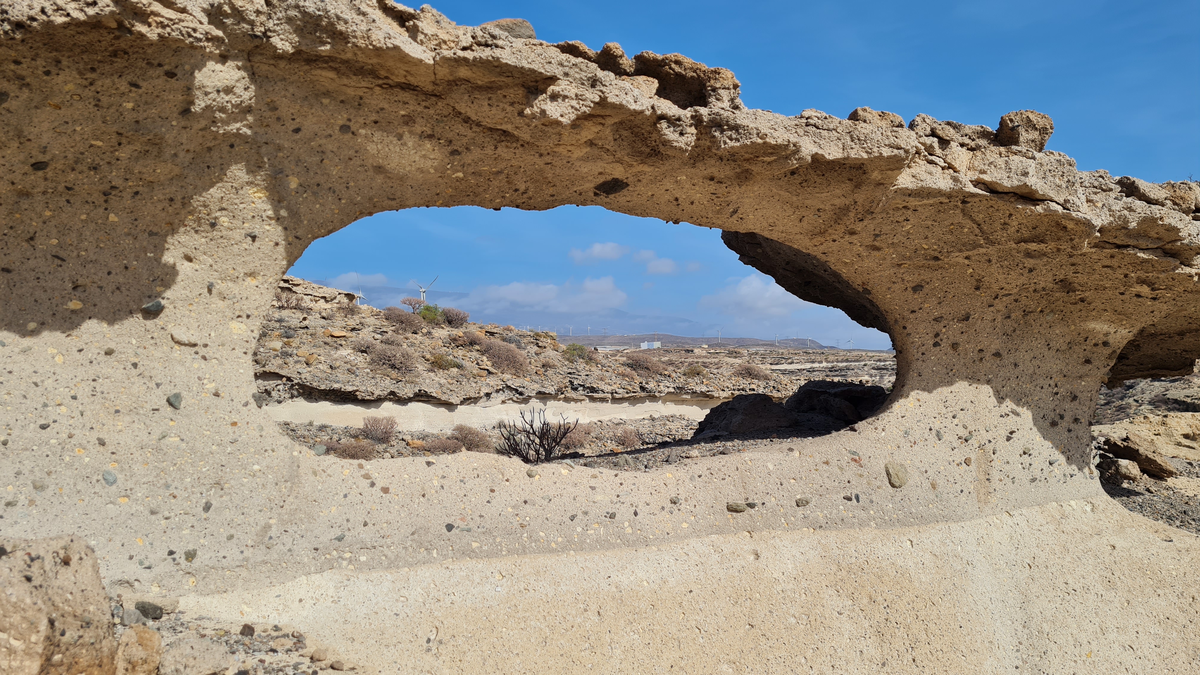
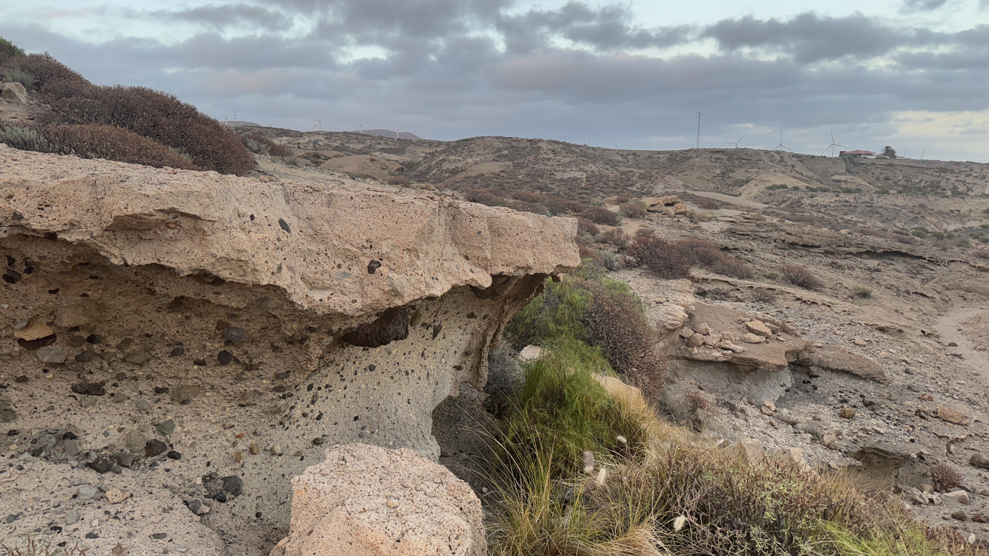
Note! The terrain features several small but unpredictable cliffs (see picture). Be cautious and avoid stepping near cliff edges.
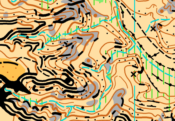
Map Samples
Parking
Updated
11/2023
Mapmaker
Tommi Hakuli
Altitude
At sea level
Runnability
Visibility
Climb
Views