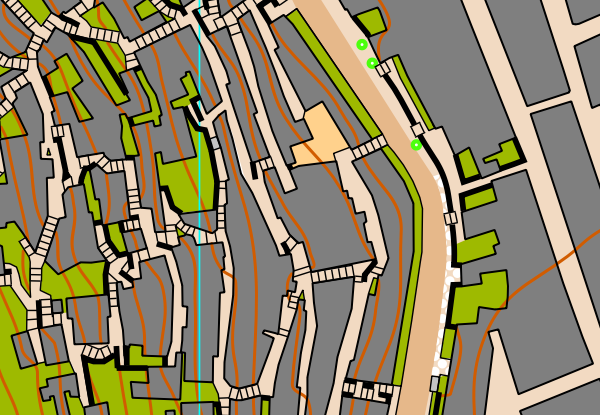
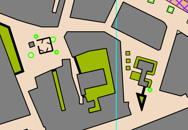
About the Map
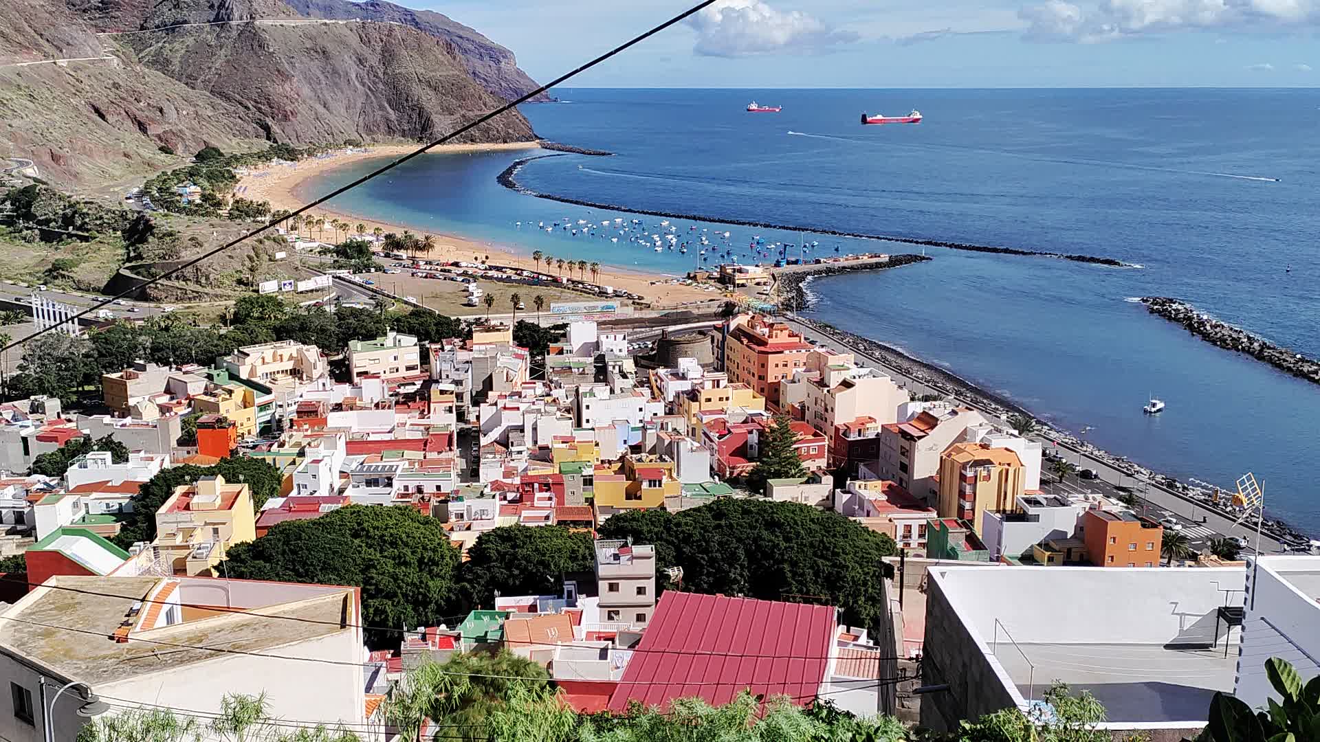
In Northern Tenerife, in the proximity of the famous Playa de las Teresitas, lies one of the trickiest sprint terrains in the world. The map of San Andres consists of two very different areas: the flat downtown of San Andres where the different shapes of the buildings ensure interesting route choices. By contrast, steep stairways and narrow passages in the uptown area make it extremely difficult to navigate even with easy speed.
After your training, make sure to visit Playa de las Teresitas for a recovering swim.
Map Samples
Parking
There is a parking lot at the beach: Google Maps.
Updated
12/2022
Mapmaker
Alvar Palmén
Altitude
At sea level
Difficulty
Climb
Traffic
Views