About the Map
Located only a stone's throw from the beautiful town of Vilaflor, Los Llanitos is actually one of the highest of our maps with its highest point at 1750m. Thankfully it is also one of the flattest - sure, there is climb on the map, but none too steep.
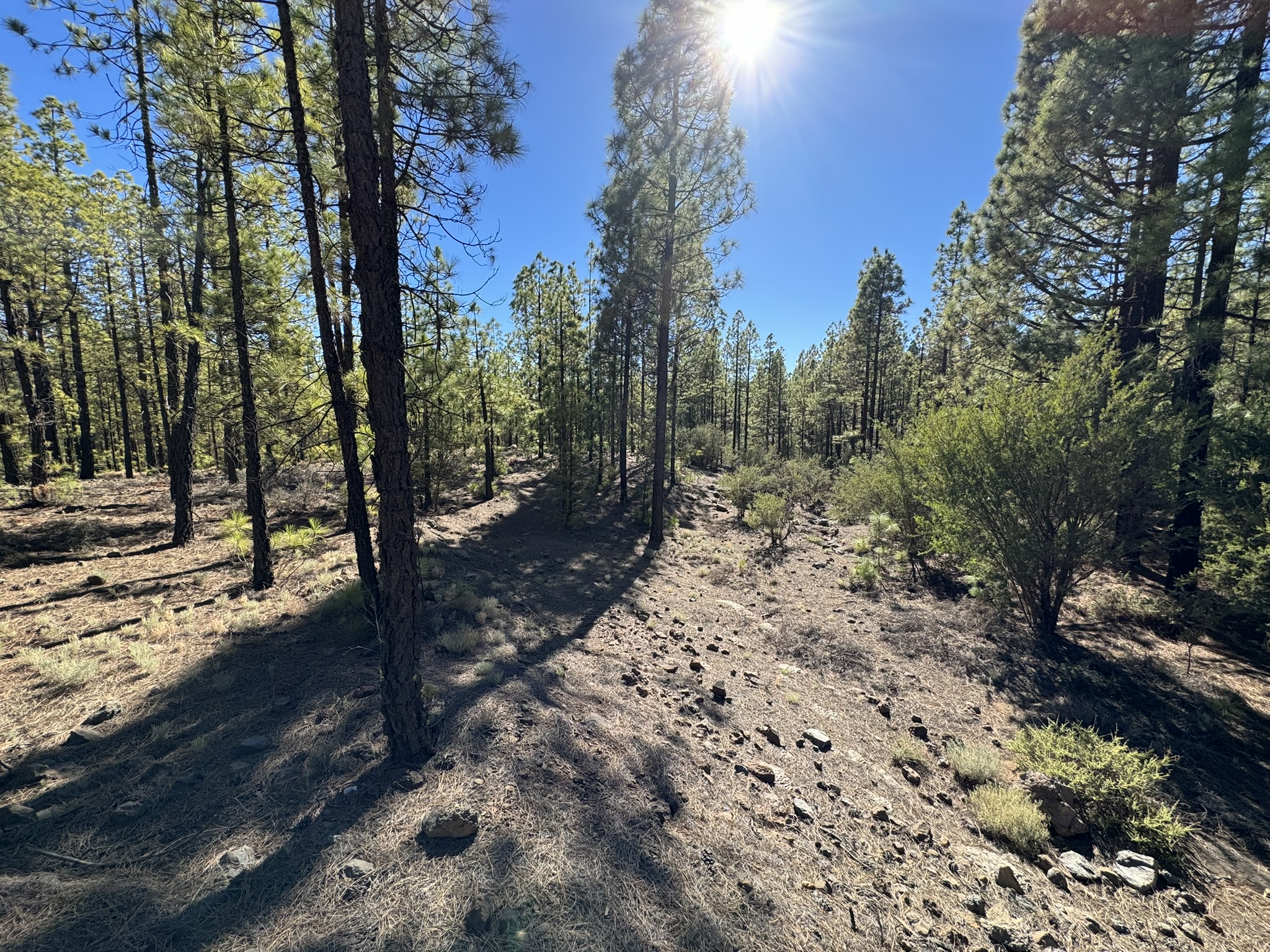
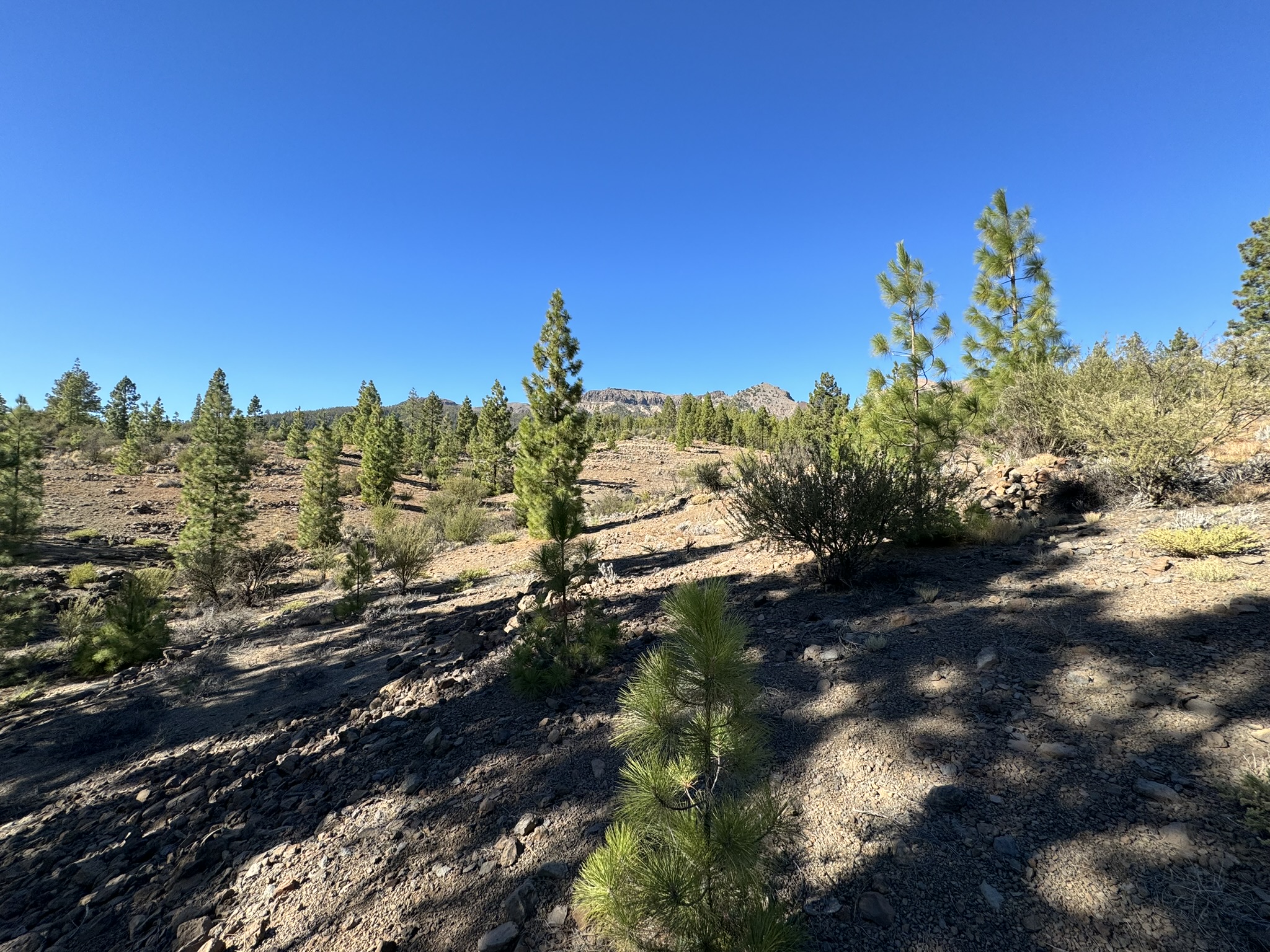
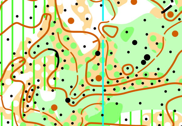
If we had to choose one word to describe this map it would be variance. The map consists of dry pine forest, semi-open forested rocky lava flows, open areas with separate bushes and dry river bottoms.
White areas on the map are mostly very runnable, even though they are rocky at places. This is where the specialty of this terrain comes into play - the absence of thick layer of pine needles means the surface is hard, and it should be relatively easy to run even at high speeds.
On the contrary, the semi-open old lava flows have significantly more rocks and even undergrowth that will make running at high speeds a tall order. Luckily, there is usually a way around them.
From technical point of view, Los Llanitos provides some interesting orienteering challenges where finding the most runnable surface can make a big difference. In this map compass also plays a bigger role than in some of our other maps.
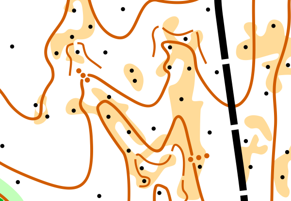
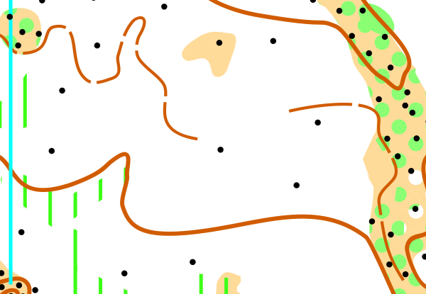
Map Samples
Parking
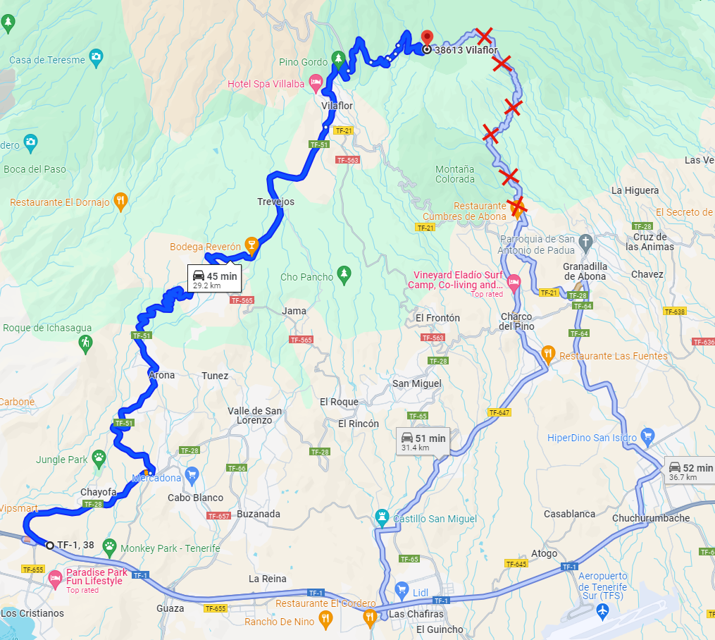
The gravel road leading to the map is wide and there are multiple potential parking places. Recommended parking: Google Maps.
Note! It's only possible to reach the map from road TF-21 near Vilaflor. See picture:
Updated
11/2023
Mapmaker
Alvar Palmén, Teemu Lehtoranta
Altitude
1700m
Runnability
Visibility
Climb
Views