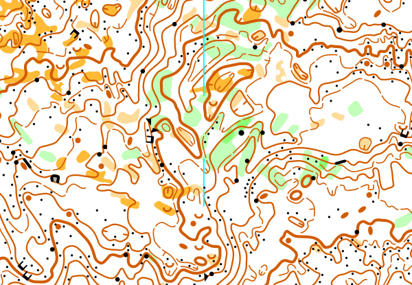
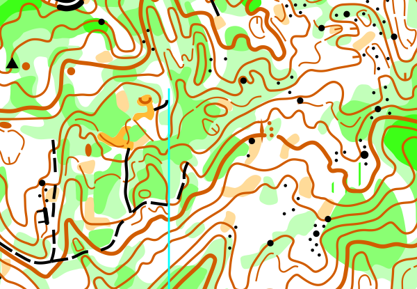
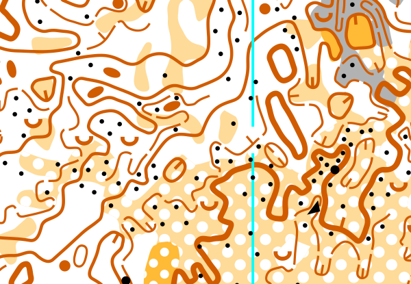
About the Map
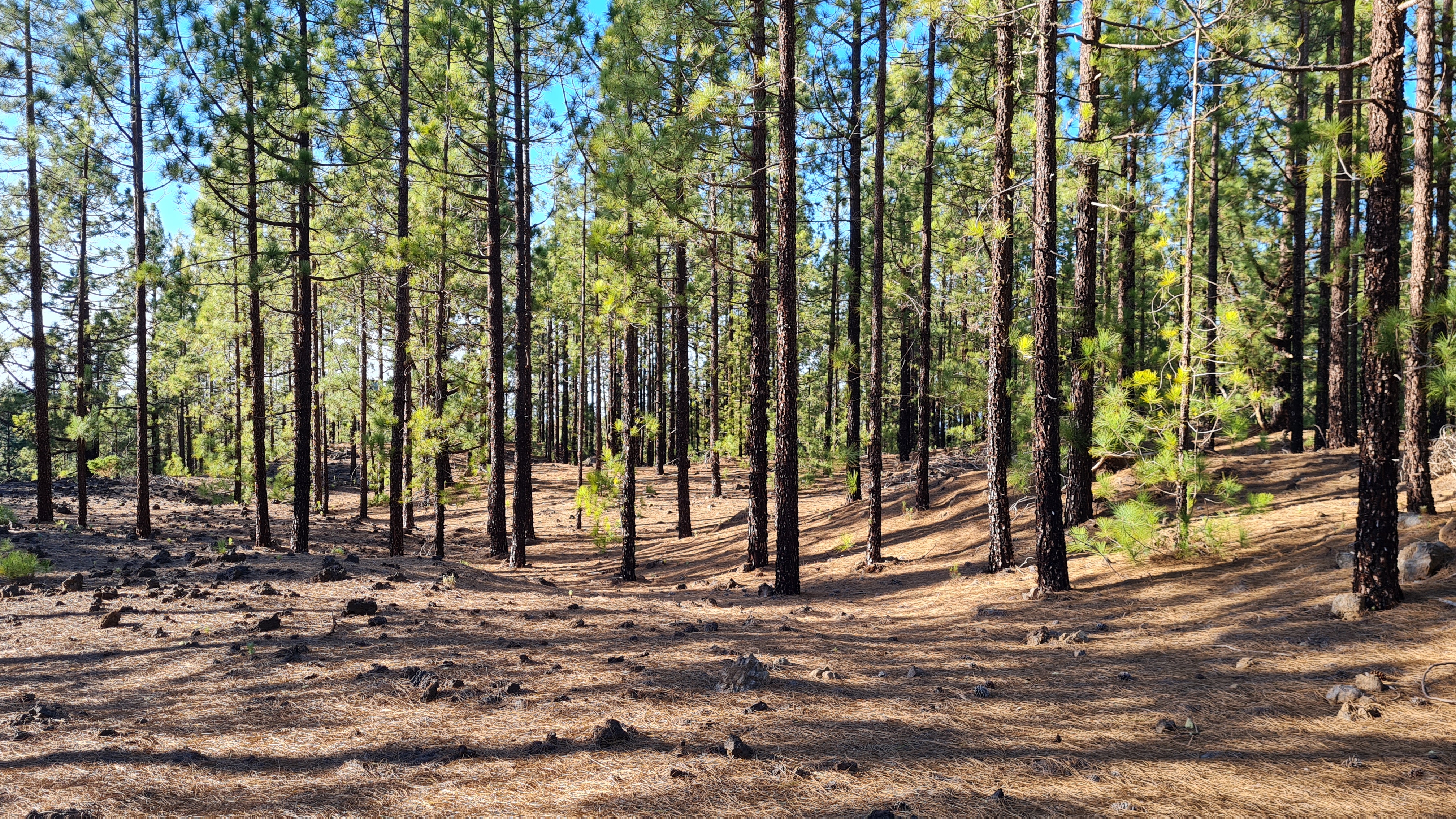
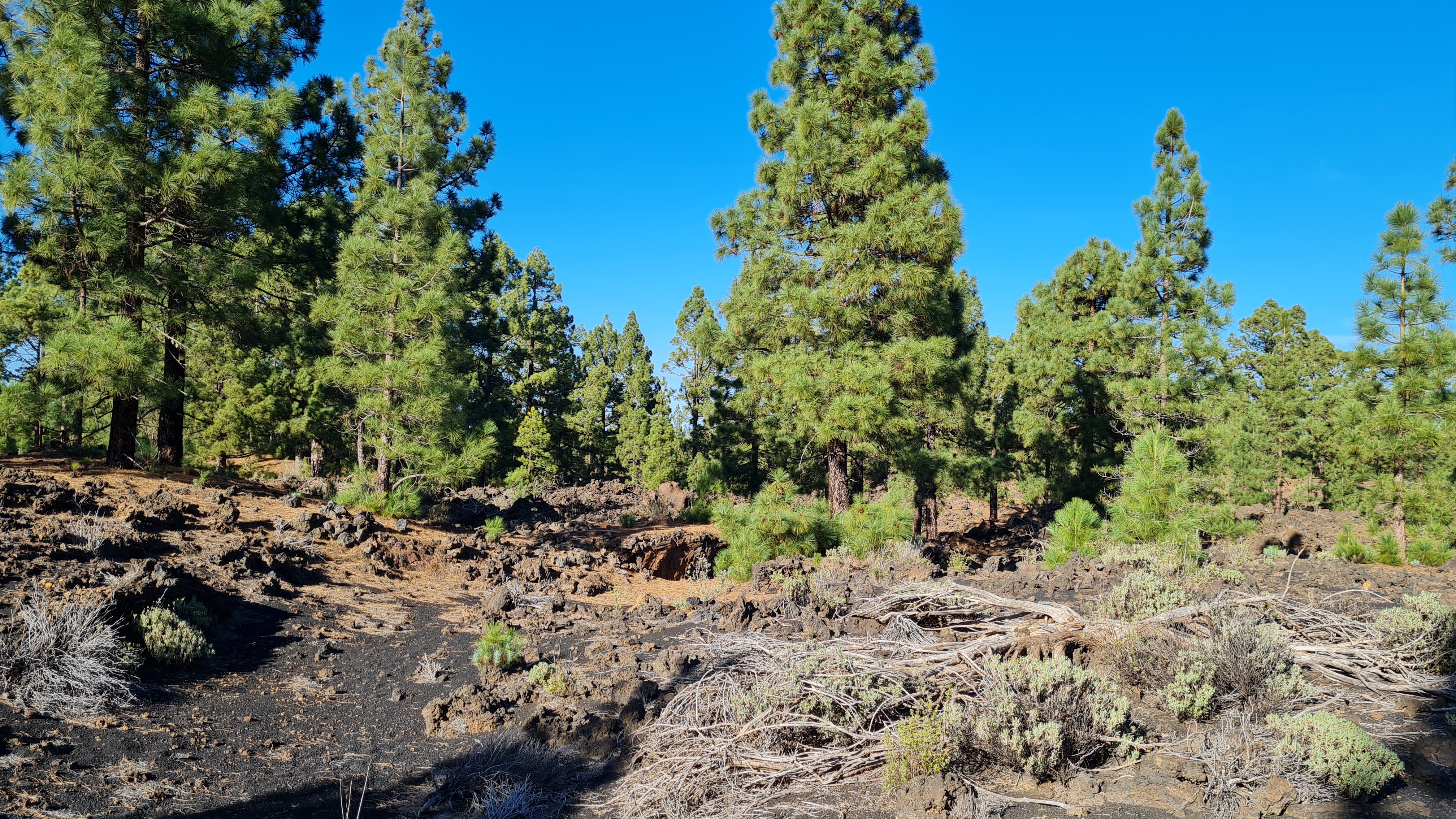
On the eastern side of the Arenas Negras lava flow, this sloping pine forest rises from 1,050 to 1,450 meters above sea level, showcasing a variety of volcanic landforms.
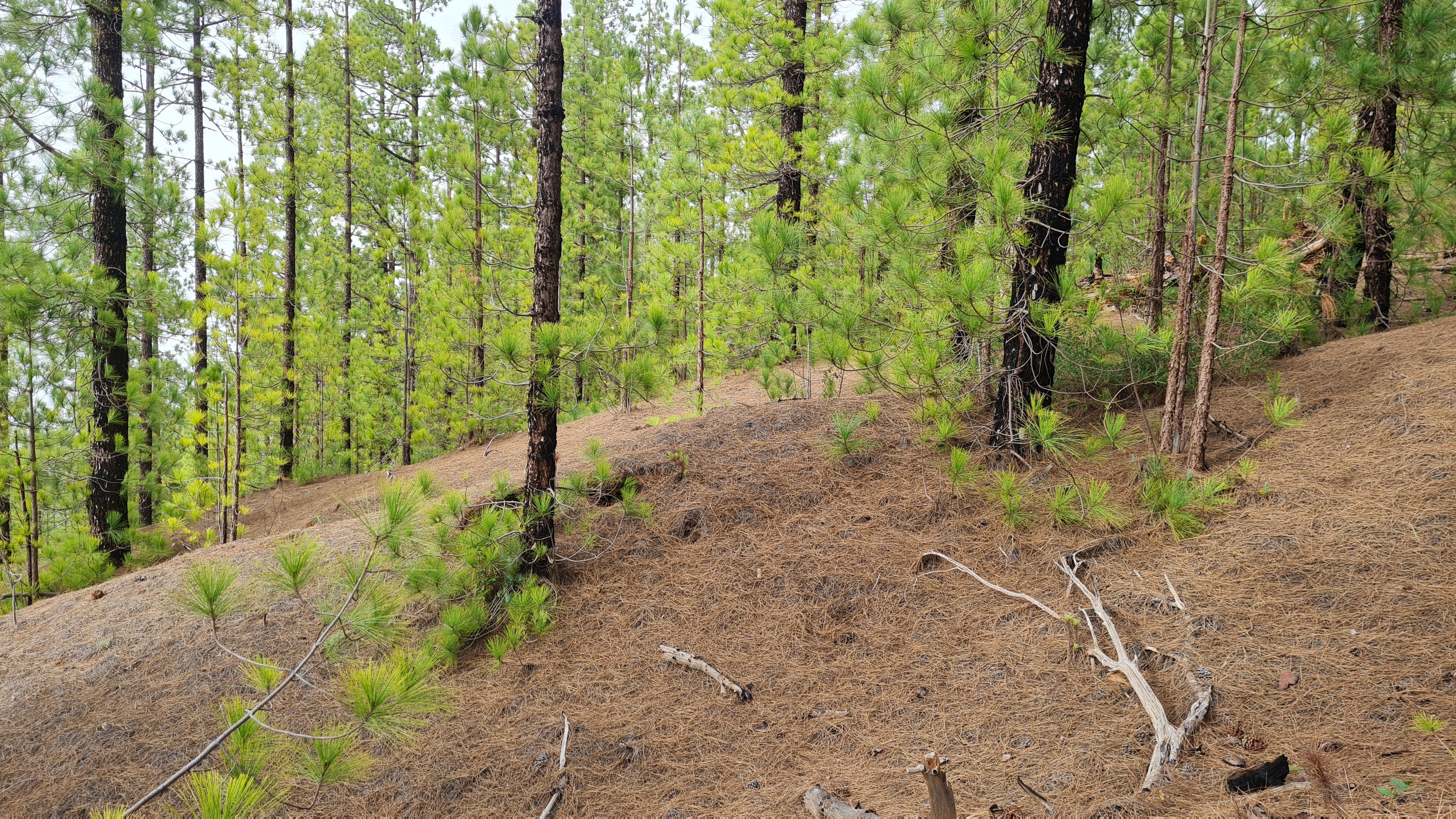
The upper part of the terrain offers an excellent pine forest with great visibility and runnability, though occasional rocky patches may still slow you down. These rocky areas are more frequent in the higher elevations. As you descend towards the lower areas near La Montaneta, the vegetation becomes denser, reducing visibility. However, the absence of undergrowth and rocks allows for a fast pace. Still, maintaining speed should not be your priority here—navigating through the detailed and pathless terrain demands full focus.
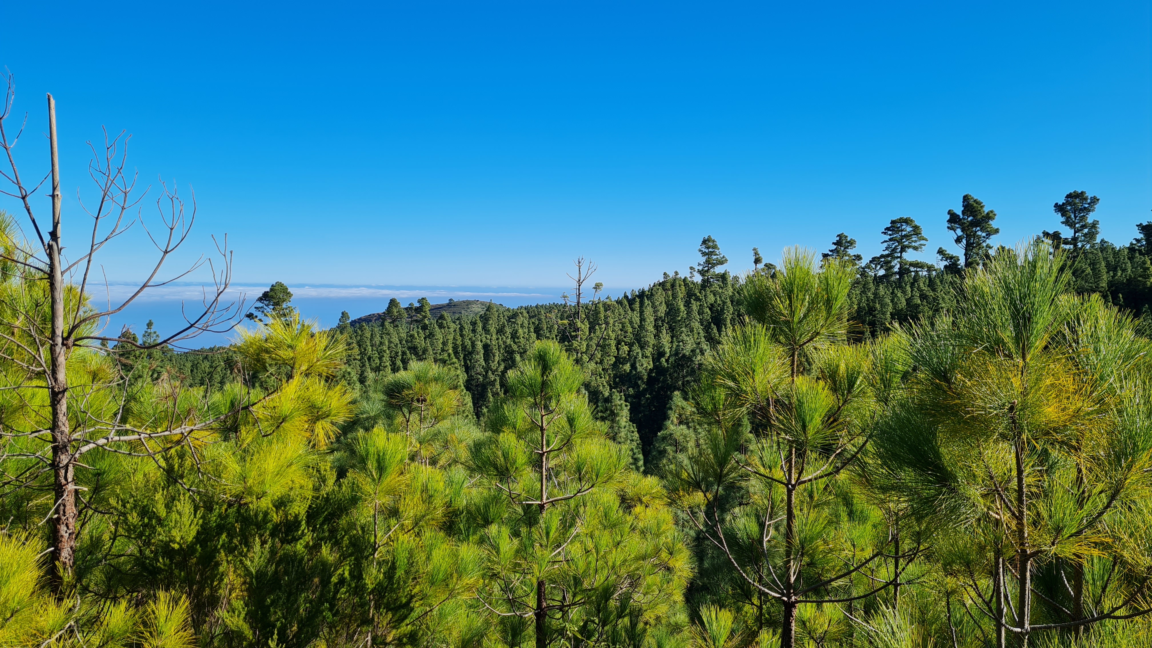
If you have to choose one map, the area of Arenas Negras and La Montaneta is definitely the "go-to place" for orienteering in Tenerife!
Map Samples
Parking
Parking for all trainings is at the recreational area of Arenas Negras (Google Maps). The only way to reach it is from the north, road TF-373.
Updated
11/2023
Mapmaker
Tommi Hakuli
Altitude
1200m
Runnability
Visibility
Climb
Views