About the Map
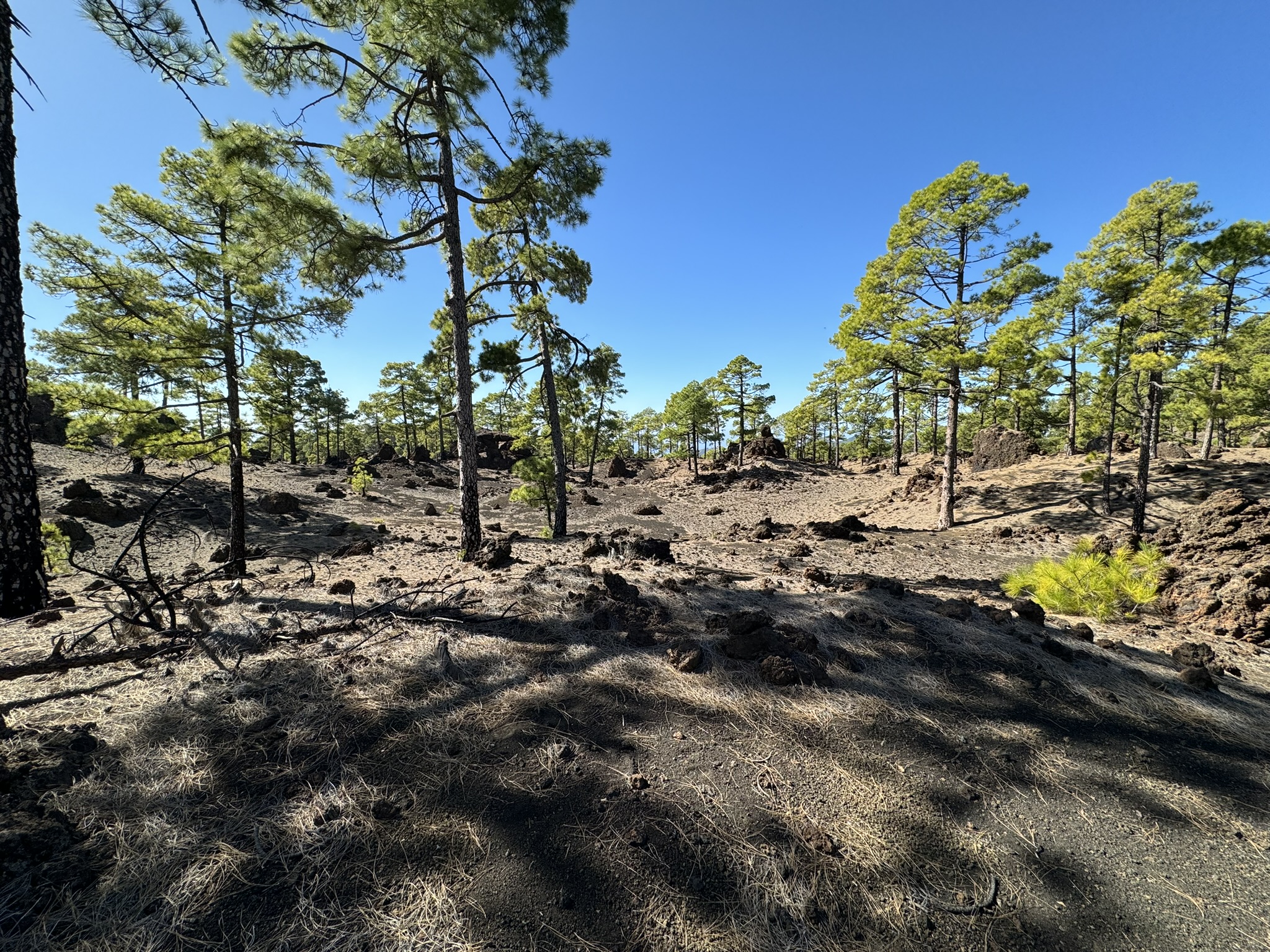
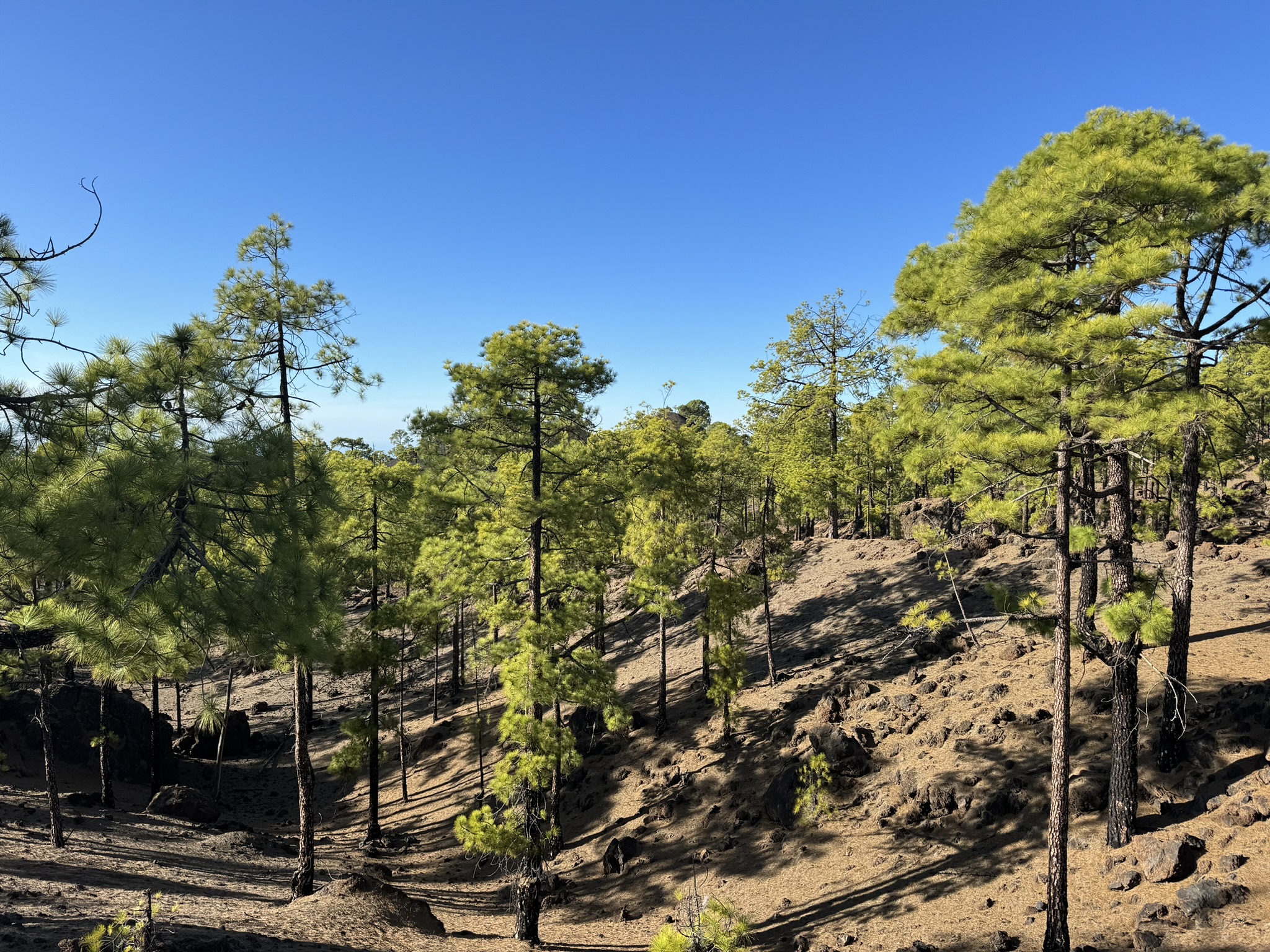
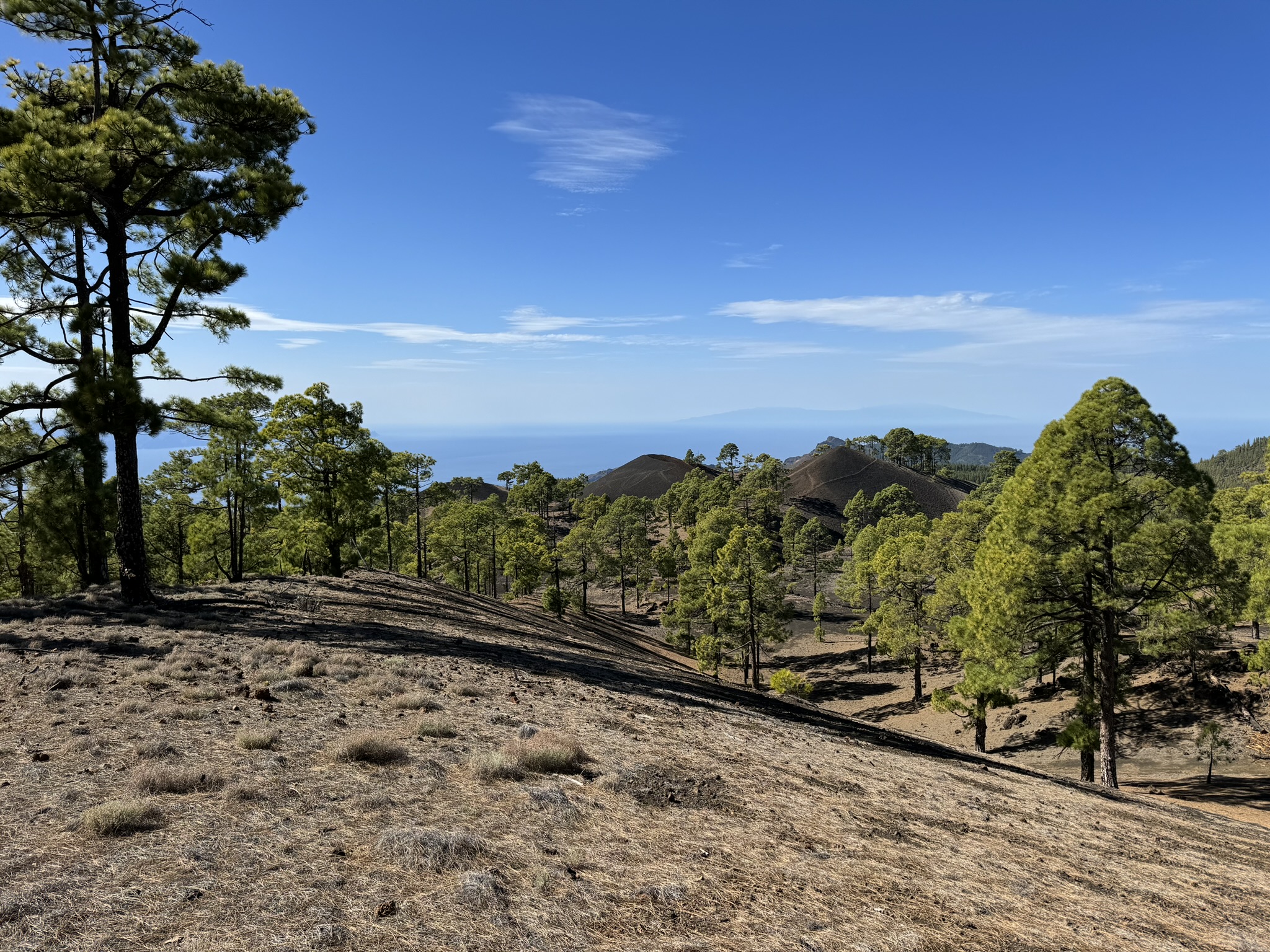
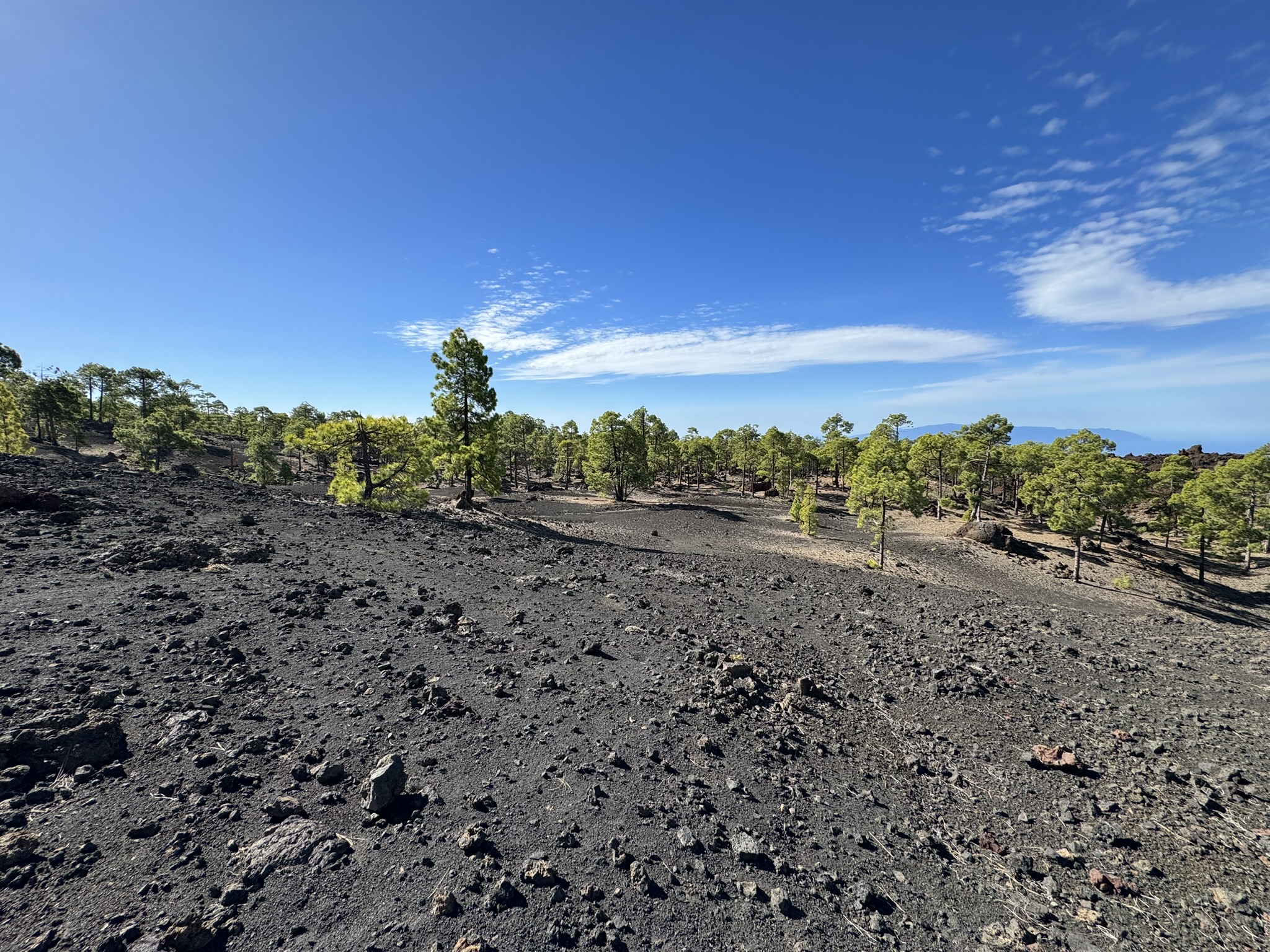
It was year 1492 when Christoffer Columbus, on his way to discover America, saw something unusual while passing by the Canary Islands. Boca Cangrejo, a volcano in Tenerife, had just erupted. Nowadays, the area of Boca Cangrejo is an excellent orienteering terrain, mixing many of Tenerife's characteristics in one map.
Despite its small size, the map of Boca Cangrejo includes many different challenges for orienteers, some of them physical and some technical. There are empty slopes, very fast open areas and some rocky areas. The eruption also blessed orienteers with a tricky and technical area where encountering a 10-meter tall rock is nothing unordinary.
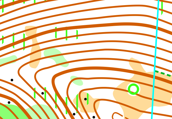
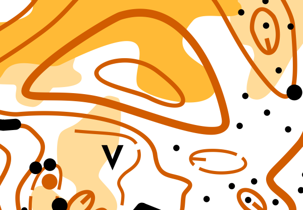
Map Samples

Parking
Several parking options. Check them from our locations map and choose the best one based on the start/finish location of your training.
Updated
11/2023
Mapmaker
Alvar Palmén, Teemu Lehtoranta
Altitude
1600m
Runnability
Visibility
Climb
Views